
Disclaimer: Nothing in this article constitutes legal advice, nor does it establish a solicitor-client relationship between the reader and Alpine Legal Services.
When you buy property in British Columbia, the contract, the title, and the survey all describe the same piece of land in different ways. The contract defines what you are buying, the title describes who owns it and what charges affect it, and a property survey BC homeowners rely on shows the physical boundaries of the lot and where structures actually sit on the ground. Knowing when you need a survey and what it reveals can save you from boundary disputes, encroachment problems, and lender delays after closing.
Whether you are buying a residential lot in Chilliwack, an acreage near Mission, or an Agricultural Land Reserve property in Abbotsford, this guide explains the role of land surveys in BC real estate, the types of surveys you may encounter, and how your real estate lawyer or notary public uses survey information during the purchase of property.
What Is a Property Survey in BC?
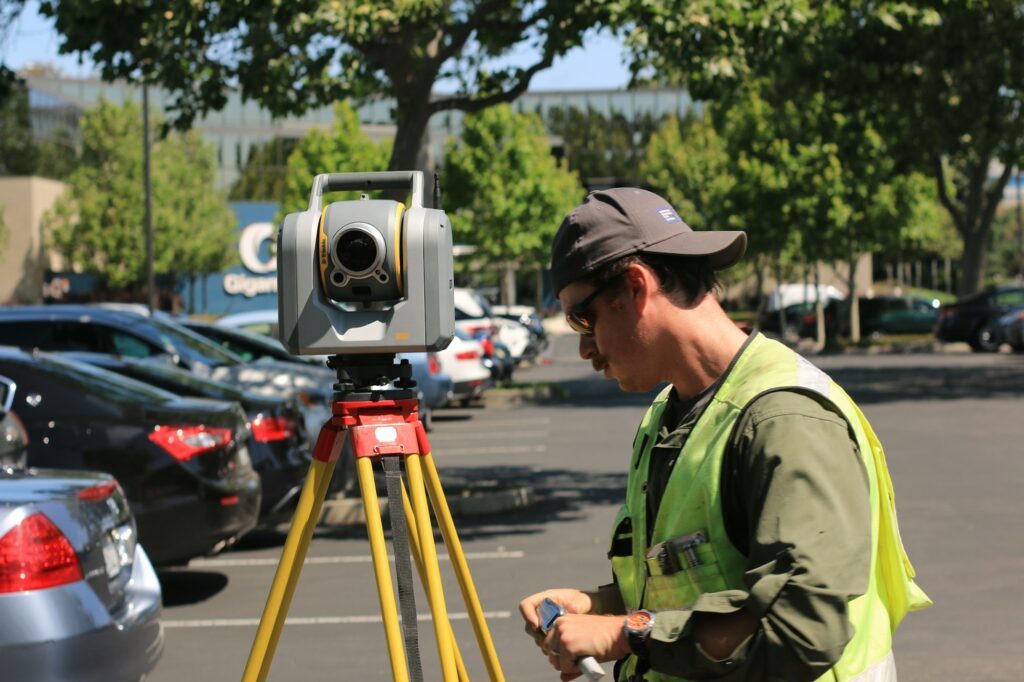
A property survey is a measurement and mapping of a parcel of land prepared by a British Columbia Land Surveyor. Land surveyors in BC are regulated by the Association of British Columbia Land Surveyors (ABCLS) under the Land Surveyors Act, and only a registered BC Land Surveyor can sign a legal survey plan in this province.
A survey produces a plan that shows the precise boundaries of the parcel, the location of any improvements such as buildings, fences, decks, and driveways, and the relationship of those improvements to property lines, setback requirements, and registered easements or rights-of-way. Survey plans that create or modify property boundaries are deposited at the Land Title and Survey Authority of BC (LTSA) and become part of the public record.
A survey does not address ownership or registered charges on title. That information comes from a separate document, the title search, which we discuss below. The survey and the title work together to give buyers a complete picture of what they are purchasing.
The Types of Property Surveys in BC
Not every transaction requires the same type of survey. The most common types you may encounter in a BC residential or rural purchase include:
- Legal survey. A legal survey establishes or re-establishes the legal boundaries of a property. The surveyor places monuments (iron posts) at the corners of the lot and prepares a plan that defines the parcel for legal purposes.
- Building location certificate. Often referred to as a Building Location Survey, this document confirms where the buildings on a property sit in relation to the property lines, municipal setback requirements, and registered easements. Lenders frequently request a Building Location Certificate when they are advancing mortgage funds on a property where the location of improvements is in question.
- Reference plan. A reference plan is registered at the LTSA and is used to define the area covered by a statutory right-of-way, easement, or covenant. Reference plans are common on properties with utility corridors or shared driveways.
- Strata plan. A strata plan defines the boundaries of strata lots, common property, and limited common property within a strata corporation. Strata plans are deposited at the LTSA when the strata is created and amended when changes are registered.
- Subdivision plan. When a parcel is divided into smaller lots, a subdivision plan is prepared and deposited at the LTSA to create the new legal parcels.
- Topographic survey. A topographic survey shows the elevation contours, vegetation, and physical features of a property. Buyers planning to build or develop often commission a topographic survey to support architectural and engineering work.
The right type of survey depends on what you are trying to confirm. Your lawyer or notary public reviews the existing plans on title and advises whether a fresh survey is needed for your transaction.
When You Need a Property Survey
Many residential resale purchases in BC complete without a new survey. A buyer accepts the property as it is, and the existing registered plans on title are sufficient for the transaction. However, several situations make a current survey valuable or required:
- Lender requires a Building Location Certificate. If your lender has questions about whether existing improvements sit within the lot boundaries or comply with municipal setback requirements, they may make a current Building Location Certificate a condition of mortgage funding.
- Title insurance is unavailable or insufficient. While title insurance in BC covers many traditional title risks, a survey gives the buyer direct evidence of the physical layout of the property and is not subject to the policy exclusions that apply to title insurance.
- Visible discrepancies between the property and the registered plan. If a fence, shed, driveway, or addition appears to cross the property line, or if a neighbouring property’s improvement appears to sit on your land, a survey confirms the actual situation before you complete the purchase.
- Acreage, rural, or ALR property. Larger parcels in areas such as Mission, Agassiz, Hope, and Abbotsford often have boundaries defined by older surveys, irregular shapes, or natural features. A current survey can confirm what you are actually buying.
- Subdivision, building permit, or development plans. Municipalities require current survey information for subdivision applications, building permits on tight lots, and most development approvals.
- Boundary, easement, or encroachment dispute. If there is any disagreement with a neighbour about where the property line sits or who has the right to use a portion of the land, a registered legal survey is the authoritative document for resolution.
If you are unsure whether your transaction needs a survey, the question is one your real estate lawyer or notary public can answer based on the title search, the registered plans, and the specific concerns of your lender.
What a Property Survey Reveals
A current survey provides information that no other document in a real estate transaction provides. Among the items a survey typically confirms or identifies:
- Property boundaries. The surveyor confirms the exact location of the legal boundaries of the lot, often by referencing existing monuments and re-establishing missing ones.
- Building setbacks. The plan shows the distance from each structure to the nearest property line, which is the figure used to confirm compliance with municipal zoning and setback bylaws.
- Encroachments onto your property. Fences, sheds, retaining walls, decks, and driveways from neighbouring properties that cross the boundary onto the lot are visible on a survey.
- Encroachments from your property. Improvements on the subject property that extend onto neighbouring land or onto a registered easement, road allowance, or right-of-way are shown.
- Easements and rights-of-way on the ground. While a property title search reveals registered easements and rights-of-way, a survey shows where they actually sit on the property and how they affect usable space.
- Compliance with strata and bare-land strata plans. For strata properties, the survey confirms that the boundaries on the ground match the registered strata plan.
- Significant physical features. Watercourses, retaining walls, large trees with regulatory protection, and other features that affect use of the property may appear on a survey.
For buyers, the practical value of a survey is straightforward: it confirms that what you are buying matches what the contract describes, and it identifies physical issues you can address before closing rather than after.
Property Survey vs. Title Search: Different Documents, Different Purposes
A title search and a property survey often get confused, but they answer different questions.
A title search reports who owns the property, what charges are registered against it (mortgages, easements, restrictive covenants, judgments, liens), and the registered legal description of the parcel. The title search is conducted by your lawyer or notary public through the LTSA as a standard part of every closing.
A property survey reports the physical condition of the parcel: the actual boundaries on the ground, where structures sit, and whether physical features comply with the registered plans and municipal requirements.
In a typical residential transaction, the title search is essential and the survey is optional. The reverse is true for boundary disputes, encroachment concerns, or lender-driven Building Location Certificate requirements. For complex purchases involving acreage, ALR land, or development potential, both documents work together to give the buyer a complete picture.
How Property Survey Costs Are Determined in BC
The cost of a property survey in BC varies based on several factors:
- Type of survey. A Building Location Certificate on a standard residential lot is generally less expensive than a full legal survey of an acreage or a topographic survey for development.
- Size and shape of the property. Larger lots, irregular shapes, and parcels with significant grade or vegetation cost more to survey because they require more field time.
- Existing monuments and records. If the property has well-preserved corner monuments and recent registered plans, the surveyor’s work is faster than if monuments are missing and older records need to be reconciled.
- Urgency. Standard turnaround for a survey can vary by surveyor and season. Expedited turnaround typically increases the cost.
- Travel and access. Properties in remote rural locations may incur higher fees due to surveyor travel time and accessibility.
Buyers should obtain quotes from one or more BC Land Surveyors and confirm exactly what the deliverable will be (Building Location Certificate, legal survey, topographic survey, etc.) before commissioning the work. Quotes range significantly depending on the complexity of the property, and the right type of survey for your transaction is best confirmed with your real estate lawyer or notary public before you place the order.
How Alpine Legal Uses Survey Information in Real Estate Closings
At Alpine Legal Services, survey review is part of every real estate closing where a survey, Building Location Certificate, or registered plan is relevant. Our team of lawyers and notaries public works with buyers across Chilliwack, Abbotsford, and Langley on the following:
- Title and plan review. As part of the real estate closing process in BC, we review the title, all registered plans, and any existing surveys provided by the seller, listing agent, or your lender.
- Identification of boundary or encroachment concerns. Where the title or the property’s physical condition raises questions, we explain the issue, the implications, and the options for addressing it before closing.
- Lender coordination. If your lender requires a current Building Location Certificate or other survey deliverable as a condition of mortgage funding, we coordinate with the lender, the surveyor, and the seller to keep funding on schedule.
- Easement and right-of-way analysis. We review every registered easement and right-of-way and, where a survey is available, we explain how the registered area sits on the ground and what it means for use of the property.
- Rural and ALR transactions. For acreage and Agricultural Land Reserve properties in areas such as Mission, Agassiz, and Abbotsford, where boundary irregularities and shared access are common, we work with buyers on whether a current survey is appropriate for the transaction.
- Plain-language explanation. We translate the technical content of survey plans, legal descriptions, and registered charges into a clear understanding of what the buyer actually owns and what restrictions apply.
Alpine Legal Services has earned hundreds of five-star Google reviews from clients across the Fraser Valley who count on our team of lawyers and notaries public to handle their real estate transactions with care and attention to detail.
Buying Property in the Fraser Valley?
A property survey is one of several tools that protect a buyer in a BC real estate transaction. For most residential resales, the registered plans on title and the documents your lender requires are enough. For acreage, ALR land, properties with visible boundary or encroachment issues, and lender-driven Building Location Certificate requirements, a current survey is the document that confirms what you are buying matches what is on the ground.
Alpine Legal Services helps buyers across Chilliwack, Abbotsford, and Langley with real estate legal services that include title and plan review, easement analysis, and coordination with your lender and surveyor where a current survey is needed.
Contact Alpine Legal to discuss your upcoming purchase or sale and whether a property survey is appropriate for your transaction.
Reviewed by Shanal Prasad, Lawyer, Notary Public, and Chartered Professional Accountant. Shanal is the founder of Alpine Legal Services and has helped hundreds of Fraser Valley families and individuals with their real estate transactions.